Wednesday, November 14, 2012 - San Antonio Mechanic Shop, San Antonio NM
< previous day | archives | next day >
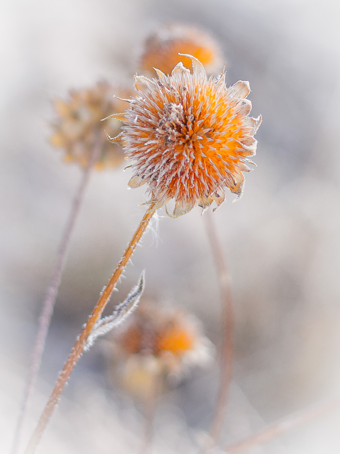
Weed, Bosque del Apache National Wildlife Refuge, San Antonio NM, November 11, 2012
Dang radiator leaks
I put a new radiator in this rig 3 years ago, almost to the day. Now it's gone and split a seam. I bought a new one at Amazon - Salvador's gonna put it in.
Night camp
Drycamped - San Antonio Mechanic Shop, San Antonio NM
Ask What Surprised Them
I was afraid of flying for a long time and could only travel vicariously. When friends came back from faraway places, it wasn't just out of politeness that I asked what they saw. I really wanted to know. And I found the best way to get information out of them was to ask what surprised them. How was the place different from what they expected? This is an extremely useful question. You can ask it of the most unobservant people, and it will extract information they didn't even know they were recording.
The Age of the Essay, Paul Graham, September 2004