Saturday, April 30, 2011 - Sinclair WY
< previous day | archives | next day >

Camped, Dugway Ramp Recreation Area, Sinclair WY, April 30, 2011
Snow
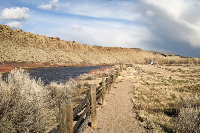
It snowed last night in Meeker CO and it's been a gray day with snow squalls off and on all day. Like yesterday, today took me much farther than I had hoped. I was on the lookout for a place to boondock all day and didn't see anything promising until I got here. This will do nicely for the night. It's not hugely picturesque but there is a river right outside my door. We like that.
North Platte River
Rand McNally tells me that's the North Platte River out there. That gives me an idea. I've been planning to follow the North Platte and Platte rivers across southern Nebraska on my way east. Why not start here and follow it as it makes its way up through Casper and around the bend to the east?
Birds
There are birds here. And a cliff with nests on it. I think I'll stay tomorrow, see what's here, get a few pictures, then head out Monday.
Night camp
Site 5 - Dugway Ramp Recreation Area, Sinclair WY
- Verizon cell phone and EVDO service - no service
- Locate Dugway Ramp Recreation Area on my Night Camps map
- Check the weather here
Inflection Points
I'm convinced we're at one of those rare historic inflection points, where the formerly reliable center can't hold and, without the benefit of our imminent history, we flail around wondering why our life isn't as stable as we think our parents' was.