Friday, February 10, 2012 - LoW-HI RV Ranch, Deming NM
< previous day | archives | next day >
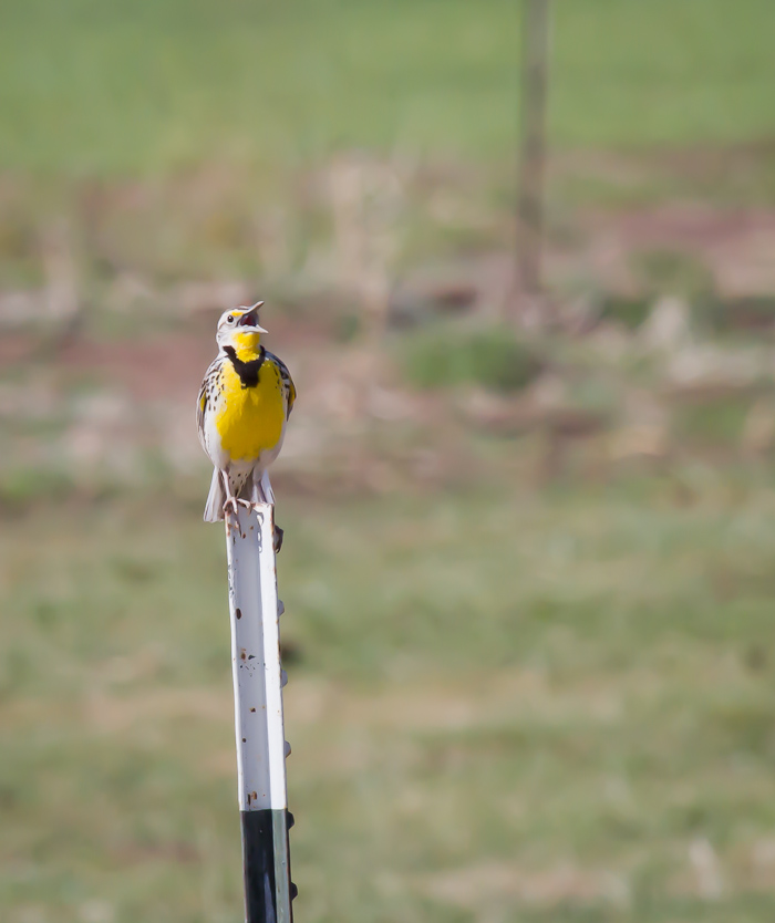
Western Meadowlark, San Antonio NM, April 15, 2010
Northward bound
Larger and larger flocks of Sandhill Cranes have been flying northward over the park the last few days, calling down to suggest I follow them up to the Bosque. And I think I will once my prepaid time here at LoWs runs out at the end of the month. Playing around with my Bosque pictures the last few days has gotten me in the mood to go get some more this spring.
Night camp
Site 8 - LoW-HI RV Ranch, Deming NM
- This is a spacious 65 site campground with most sites offering full hookups.
- Locate LoW-HI RV Ranch on my Night Camps map
- Verizon cell phone - strong signal
- Verizon Broadband - strong signal but often slow
- Check the weather in Deming NM
Our Past is Written Deep
We do not destroy this past of ours; it is indestructible. We carry it with us; its record is written deep in our lives. We only refuse to acknowledge it as our true past and try to make it an alien thing - something that did not happen to our real selves.... But this unremembered past endures.... Our buried past is mighty; the ghosts of our father and of the selves that we have been haunt our days and nights though we refuse to acknowledge their presence.
...